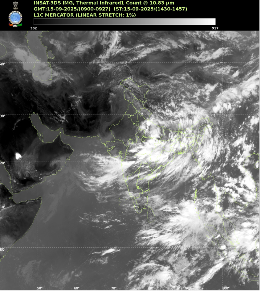
IMD Forecasts Torrential Rainfall for Multiple States

Photo Credit: IMD
The India Meteorological Department (IMD) has issued multi-hazard alerts throughout India for mid-September 2025, warning of extremely heavy rainfall, thunderstorms, and strong winds expected to strike five major states. Bihar, Jharkhand, Odisha, Chhattisgarh, and Madhya Pradesh are forecast to bear the brunt of the incoming monsoon surge, with other eastern and peninsular regions also at heightened risk.
According to the IMD, the weather front is driven by a deepening low-pressure system traversing central and northern India, causing concentrated downpours in both urban and agricultural zones. Emergency services in sensitive areas are on high alert, as isolated locations could see up to 20 cm of rainfall within 24 hours. The department also issued parallel advisories for rapid waterlogging, landslides in hilly terrain, and disruption of essential services.
Citizens in affected districts are being urged to avoid travel during peak storms, keep updated with local weather advisories, and take immediate precautions for safety. Fishermen and agricultural workers are especially warned of sudden water level rises. Schools and local authorities are advised to remain prepared for possible closures and relief operations if flooding escalates.
Over the past week, intense monsoon activity has already seen heavy rainfall in West Bengal, Sikkim, Uttarakhand, and Maharashtra. The outlook states that the rainfall spell is likely to persist and intensify through September 16, 2025, especially across eastern regions and parts of peninsular India. The IMD’s extended forecasts also highlight ongoing vulnerability to thunderstorms and lightning in the Northeast, and calls for special vigilance by disaster management agencies.
While monsoons are a vital lifeline for India’s crops and reservoirs, authorities stress that the risks from flooding and landslides remain high this season due to climate-linked extremes. The public is reminded to depend on official IMD updates and follow local disaster preparedness plans.


